
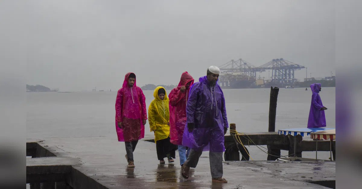
With the southwest monsoon stalled over southern Maharashtra, India is facing a nationwide rainfall deficit of 41 per cent between June 4 and June 18, according to the latest India Meteorological Department (IMD) data.
The country has received just 42.6 mm of rainfall against the normal 72.2 mm during the above-mentioned period.
IMD’s region-wise departure rainfall map shows that rainfall deficits in central India, east and northeast India, the southern peninsula, and northwest India stand at 67 per cent, 42 per cent, 22 per cent, and 6 per cent, respectively. “The absence of favourable large-scale meteorological conditions” was the key reason why the monsoon has failed to advance further into the remaining parts of Maharashtra in the past few days.
There are five main factors behind the slowdown in the monsoon’s northward progress, including the lack of a strong surge from the Arabian Sea, low-level southwesterly winds associated with the monsoon circulation, weak cross-equatorial flow over the western Indian Ocean and Arabian Sea.
When it is in an active phase, it brings more clouds to southern India, which are then carried northwards by the monsoon winds, leading to enhanced rainfall.
“As a result, rainfall activity over most parts of Maharashtra is likely to remain isolated during the next 4-5 days,” said the IMD.
The southwest monsoon’s slow northward progress, coupled with the recent emergence of El Nino conditions over the equatorial Pacific Ocean, which leads to less rainfall in India, can have significant consequences for kharif crops, which need timely rainfall to thrive.
On Tuesday, Union Agriculture Minister Shivraj Singh Chouhan gave directions to identify districts where there is a possibility of low or uneven rainfall, and prepare crop-wise contingency plans in coordination with state governments.
The minister emphasised that special attention should be given to water conservation, moisture management, inter-cropping, and alternative crop patterns.