


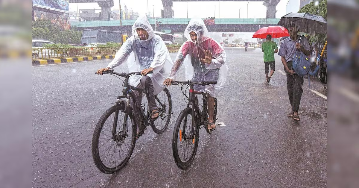
Delhi woke up to pleasant weather on Saturday after incessant rain across Delhi-NCR on Friday led to waterlogging and traffic disruption in several parts of the national capital and neighbouring areas. The rain brought down temperatures sharply, with the maximum temperature at Safdarjung settling at 27.5 degrees Celsius on Friday, 6.7 degrees below normal.
Delhi weather forecast today
The India Meteorological Department (IMD) has forecast a generally cloudy sky in Delhi on Saturday, with very light to light rain likely at many places. A spell of rain is expected from early morning to noon, with moderate rain possible at isolated places. Another spell of very light rain is likely across many places during the evening and night.
The maximum temperature is expected to remain between 30 and 32 degrees Celsius, while the minimum is likely to be between 22 and 24 degrees Celsius. Winds will remain light to moderate, with speeds of around 10-20 kmph.
The IMD’s Delhi forecast indicates that the weather will remain wet into Sunday, although rainfall is expected to be considerably lighter. On August 9, the capital is likely to see very light rain in the early morning to forenoon, followed by another spell of very light to light rain towards the evening. The maximum temperature is likely to rise to 33-35 degrees Celsius.
This means rainfall is likely to continue over the weekend, but the intensity is expected to ease considerably from Friday’s heavy showers.
Delhi-NCR rain, alerts
Delhi is under an overall yellow alert, although there is no nowcast alert for the capital at present. Parts of the NCR, including Haryana, are under a red alert, according to the latest local weather alert information.
The IMD’s extended forecast indicates fairly widespread to widespread rainfall over Haryana, Chandigarh, and Delhi on Saturday, while eastern Rajasthan is likely to receive widespread rainfall through August 12.
India weather: High monsoon activity continues
Monsoon activity remains high across several parts of India, with widespread rainfall forecast over large parts of the east, northeast, west and south over the coming days.
Eastern Rajasthan and Odisha are the main areas of concern on Saturday, with heavy to very heavy rainfall likely at isolated places. Heavy rainfall is also expected in Arunachal Pradesh, Assam and Meghalaya, Chhattisgarh, coastal Andhra Pradesh, Kerala, Karnataka, Maharashtra, Marathwada, Jharkhand, Bihar, Uttar Pradesh, Uttarakhand, West Bengal and Sikkim, among other areas.
The IMD has forecast widespread rainfall over Odisha, West Bengal and Sikkim through August 13. Parts of central India, including Madhya Pradesh, Vidarbha and Chhattisgarh, are also expected to witness active monsoon.
In south India, fairly widespread to widespread rainfall is likely over coastal Karnataka, Kerala and Lakshadweep through August 13. Thunderstorms accompanied by lightning and gusty winds of 40-50 kmph, gusting to 60 kmph, are likely at isolated places in parts of Kerala, Karnataka, Tamil Nadu and Andhra Pradesh on Saturday.
The IMD has also issued a warning for fishermen for parts of the Arabian Sea and Bay of Bengal, with squally weather and strong winds expected along several coastal stretches.