


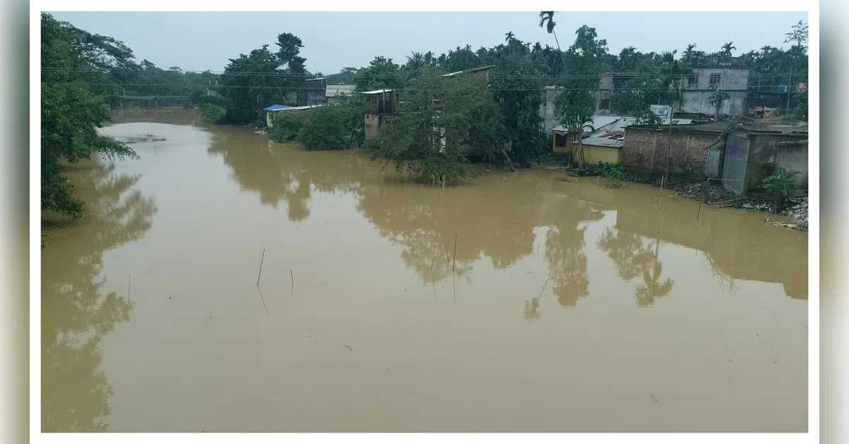
Floods are no longer viewed merely as natural disasters but as complex events intensified by climate change, rapid urbanisation, encroachment of floodplains, land-use changes and socio-economic vulnerabilities.
A new study that combines artificial intelligence (AI), machine learning (ML), remote sensing, geographic information systems (GIS) and spatial analytics found that nearly 11.87 per cent of coastal state Odisha falls under high to very high flood susceptibility zones, while around 6.85 per cent of the state faces significant flood risk.
Odisha is one of India’s most flood-prone states, with nearly 80 per cent of its area vulnerable to multi-hazard natural disasters. The state’s unique geography makes it highly susceptible to both coastal and riverine flooding. Cumulative economic damages to crops, housing and infrastructure have historically cost the state billions.
According to the study conducted by researchers from four universities in India, the UK, Brazil and Saudi Arabia, coastal districts such as Jagatsinghapur, Kendrapara, Puri, Balasore, Bhadrak and Cuttack are the most vulnerable flood-risk regions in Odisha, while major river basins including the Baitarani, Brahmani, Mahanadi, Budhabalanga, Subarnarekha, Rushikulya and Kolab basins are found to be highly susceptible to flooding.
Researchers said Odisha’s geomorphology, characterised by deltaic plains, low-lying coastal belts, gentle slopes and heavy monsoon rainfall, significantly contributes to recurring floods. More than 75 per cent of the state’s annual rainfall occurs during the monsoon season, often coinciding with the cropping period and increasing the likelihood of flash floods.
“The deltaic and alluvial regions along the coast are particularly prone to flooding. Their flat terrain (below 10 m in elevation) and gentle slopes (less than 2 degrees) contribute to high flood susceptibility, which is further exacerbated by heavy siltation and inadequate drainage. These conditions frequently lead to flash floods and embankment breaches,” said Manoranjan Mishra, head of the geography department at FM University, Odisha.
The study indicated that the convergence of floodwaters from the Baitarani, Brahmani and Mahanadi river systems, especially during simultaneous high-flow events, intensifies flooding in coastal districts. High tides and storm surges further aggravate the situation by causing riverbank overflows and severe siltation in estuarine regions.
The researchers used five advanced machine learning models — Random Forest (RF), Bagging, Support Vector Machine (SVM), K-Nearest Neighbours (KNN), and Generalised Linear Models (GLM) — to generate flood hazard, vulnerability and risk maps across Odisha.
They prepared a detailed flood inventory database using historical flood records from 2009 to 2015 obtained through the Bhuvan Web Map Service of the National Remote Sensing Centre (NRSC). Around 1,600 flood points and 1,600 non-flood points were analysed using GIS and statistical tools to train and validate the machine learning models.
Among all the models tested, the Random Forest model emerged as the most accurate and reliable. It achieved the highest prediction accuracy for both flood hazard and flood vulnerability assessments, recording AUC values of 0.963 and 0.956 respectively.
The study identified low elevation as the most important factor influencing flood hazards in Odisha. “Areas located below two metres elevation showed significantly higher flood susceptibility due to poor drainage and water accumulation. Soil type, slope, geomorphology and geology were also found to strongly influence flooding patterns,” said Rajkumar Guria, another researcher.
On the socio-economic front, distance from flood shelters emerged as the most critical vulnerability factor, indicating that communities with limited access to shelters face greater risks during flood events. Population density, agricultural intensity, crop area and illiteracy levels were also identified as important indicators of vulnerability.
The findings reveal that densely populated coastal and deltaic areas are particularly vulnerable because of expanding settlements, increasing encroachment into floodplains and rapid land-use changes driven by development and livelihood pressures.
Researchers emphasised that the findings can help policymakers and disaster management agencies develop district-level flood zoning systems, strengthen climate-resilient infrastructure and improve real-time flood early warning mechanisms. The study also recommended wetland restoration, ecosystem-based flood management, and community-level disaster preparedness initiatives.
“Data-driven scientific planning can play a transformative role in protecting vulnerable populations, strengthening resilient agriculture, minimising economic losses and ensuring sustainable development in Odisha and other climate-sensitive coastal regions of the country,” Mishra added.